Building Stonehenge was a way to unify the people of Stone Age Britain, researchers have concluded.
Teams working on the Stonehenge Riverside Project believe the circle was built after a long period of conflict between east and west Britain.

Researchers believe Stonehenge was built in the “centre of the world” for prehistoric peopl
Researchers also believe the stones, from southern England and west Wales, symbolize different communities.
Prof Mike Parker Pearson said building Stonehenge required everyone “to pull together” in “an act of unification”.
The Stonehenge Riverside Project (SRP) has been investigating the archaeology of Stonehenge and its landscape for the past 10 years.
In 2008, SRP researchers found that Stonehenge had been erected almost 500 years earlier than had originally been thought.
Now teams from the universities of Sheffield, Manch
ester, Southampton, Bournemouth and University College London, have concluded that when the stone circle was built “there was a growing island-wide culture”.
“Stonehenge appears to have been the last gasp of this Stone Age culture”
Professor Mike Parker PearsonUniversity of Sheffield
“The same styles of houses, pottery and other material forms were used from Orkney to the south coast – this was very different to the regionalism of previous centuries,” said Prof Parker Pearson, from University of Sheffield.
“Stonehenge itself was a massive undertaking, requiring the labour of thousands to move stones from as far away as west Wales, shaping them and erecting them.
“Just the work itself, requiring everyone literally to pull together, would have been an act of unification.”
Stonehenge may also have been built in a place that already had special significance for prehistoric Britons
‘Centre of the world’
The SRP team found that its solstice-aligned avenue sits upon a series of natural landforms that, by chance, form an axis between the directions of midsummer sunrise and midwinter sunset.
“When we stumbled across this extraordinary natural arrangement of the sun’s path being marked in the land, we realised that prehistoric people selected this place to build Stonehenge because of its pre-ordained significance,” said Mr Parker Pearson.
“This might explain why there are eight monuments in the Stonehenge area with solstitial alignments, a number unmatched anywhere else.
“Perhaps they saw this place as the centre of the world”.
Previous theories suggesting the great stone circle was inspired by ancient Egyptians or extra-terrestrials have been firmly rejected by researchers.
“All the architectural influences for Stonehenge can be found in previous monuments and buildings within Britain, with origins in Wales and Scotland,” said Mr Parker Pearson.
“In fact, Britain’s Neolithic people were isolated from the rest of Europe for centuries.
“Britain may have become unified but there was no interest in interacting with people across the Channel.
“Stonehenge appears to have been the last gasp of this Stone Age culture, which was isolated from Europe and from the new technologies of metal tools and the wheel.”
Link source: http://www.bbc.co.uk/news/uk-england-wiltshire-18550513
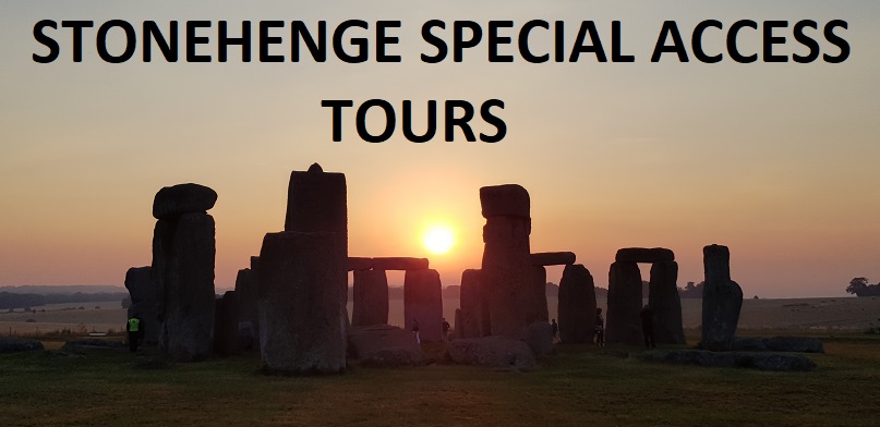
Sponsored by ‘The Stonehenge Tour Company’ www.StonehengeTours.com
Merlin @ Stonehenge